October 18, 2023 - Annual Foliage Flight
Day Two - Part One
Northwestern Maine - St. Johns River


Approaching big Pemadumcook Lake, west of Millinocket.


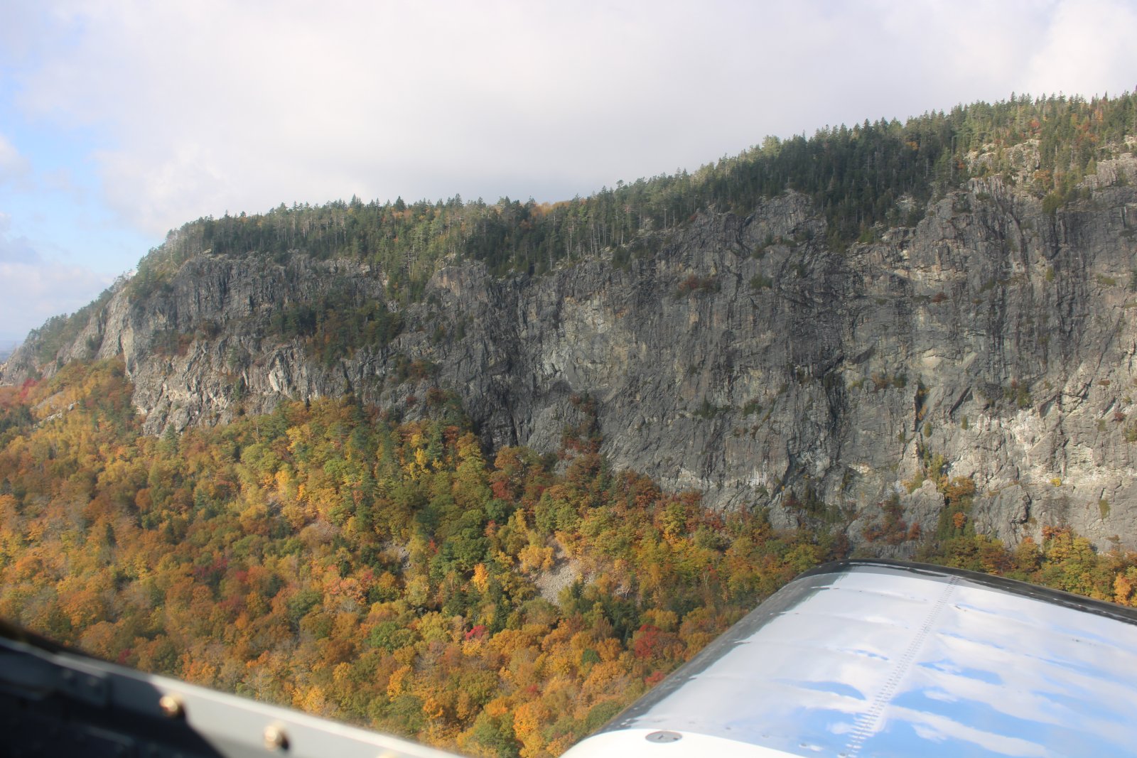
Yesterday I hit the southern part of Moosehead Lake -- biggest lake in Maine. This time I'm crossing the center of it. In the distance I see a huge rock mountain. It's like the rock of Gibraltar!


Impressive.


Now this one is on the chart: a private strip called Avery is just west of Rockwood.


I spot a freight train below coming towards me coming from the town of Moose River.

A little freight yard with a machine for off-loading containers off the train.


Newton Field (59B) at left and the town Jackman, population 782.

Newton Field from another angle.
Jackman is the last civilization I will see until the very northern tip of Maine, 127 nm away. It would take over five hours to drive 278 miles on a roundabout path east then north to get to it by car. Newton Field is the last paved airport with facilities I'll see until Northern Aroostook Regional Airport in the northern tip of Maine. In fact, there are virtually no private or public strips on my next leg. This is as remote as it gets.

I head north up the Moose River.


